
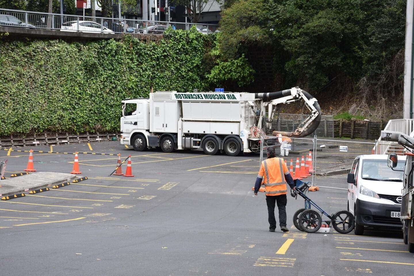
GPR Scanning in Huntly
Local ground penetrating radar scanning for Huntly and the wider North Waikato & Hamilton area
Since 2015Own locators, hydro-vac & diggersAuckland · Franklin · North Waikato
GPR Scanning for Huntly properties, sites and farms
Huntly has two things radar is particularly useful for: old underground services of every material under an established town, and ground in parts of the district disturbed by a long mining history. Utility Works scans Huntly sites to find asbestos-cement and plastic water lines, old drains, tanks and voids that electromagnetic locators cannot see, and scans slabs before coring. The soft, wet ground on the river flats limits depth in places; we calibrate on site and pothole with hydro-vac where the result matters.
Typical ground penetrating radar scanning jobs in Huntly
- Locating AC and plastic water lines under older residential streets before works
- Scanning for voids, old drains and buried structures before new foundations
- Concrete scanning before coring in school, community and commercial buildings
GPR Scanning, in short
Electromagnetic locators only find metal or a pipe carrying a signal. Plastic water and gas lines with no tracer wire, old septic tanks, culverts, voids, buried foundations and rebar in slabs are invisible to them. Ground penetrating radar sends a pulse into the ground and reads what bounces back, so we can mark those features whatever they are made of. We run radar alongside our other locating methods, confirm anything doubtful by potholing with our own hydro-vac, and supply marks on the ground or a plan for your designer or contractor.
Full details: Ground Penetrating Radar Investigations →Working underground in Huntly
Huntly is an established Waikato town on both banks of the Waikato River, with a long history tied to coal mining and power generation. Much of the housing dates from the middle of last century, and some of the pipework serving it is of a similar age.
Town water and wastewater are managed by Waikato District Council, while the farms and lifestyle blocks spreading out from the town rely on bores, tanks and private lines. The river flats have high groundwater and soft ground, and the mining history in parts of the district means subsurface conditions are not always what you would expect.
Huntly is at the southern end of our regular run, reached via the expressway from Waiau Pa. We take on leak detection, service locating and installation work for property owners, contractors and businesses here, often on sites where no reliable plans exist.
When Huntly’s buildings went up, and what radar will find
The age of a house tells us what pipe and cable to expect underneath it before we arrive.
Before 1960
Huntly is a coal town. The railway reached it in 1877, the 1915 bridge carried the line to the west-bank mines, and by 1956 about 4,200 people lived here, mostly in miners' cottages and villas on the flat east of the river and along the old Great South Road.
1960s to 1980s
The big growth decades. Population climbed to about 7,500 by 1986 while the power station went up in stages from 1973 and the Huntly East mine opened in 1978, so a large share of the town's housing, on both sides of the river, dates from these years.
1985 to 2000
Very little was built. Huntly lost people after 1986 and did not pass that figure again until the 2018 census, so late-century housing is scarce.
Since 2000
Growth returned after 2013 with infill and new sections, and the expressway bypass of March 2020 took through traffic off the main street. The town had 2,649 dwellings at the 2023 census.
Plastic pipe, old tanks and slabs under Huntly
Because Huntly's housing leans so heavily on the 1960s, 70s and early 80s, so does its pipe: asbestos-cement mains in the street and copper or galvanised laterals to the house. Galvanised chokes with rust and pinholes, so an old Huntly connection usually shows as weak pressure at the kitchen tap before it shows as a wet patch. AC mains are brittle, and the cracks we find are at joints where the soft river-flat ground has moved under them.
The pre-war streets near the river and the railway still carry original galvanised and some lead-jointed cast iron, which weeps at the joints. Dux Quest polybutylene turns up in the few late-1980s houses, and plastic is confined to the post-2013 infill. That mix suits an electromagnetic locator, because most of the old pipe is metal and traces from the toby, but the newer MDPE laterals carry no tracer wire and need radar or a hydro-vac pothole to confirm. On ex-mine land we also expect pipe that has been re-laid after settlement, with the old line left in the ground beside it.
How radar performs in Huntly’s river flats and peat
Huntly sits on the Waikato coalfield, where seams of coal and the clays above them lie under the river flats. The Huntly East underground mine worked beneath the east side of town until it closed in October 2015, and the Crown runs a Huntly East land subsidence policy, revised in 1993, to repair or buy houses damaged by ground movement over the workings. That matters to us: a settled section can mean a pulled joint, and a void under a pipe can take leaking water with nothing showing on top.
The flats either side of the river are soft silt and old swamp ground. Lake Hakanoa, on the east side of town, is a shallow riverine lake only 300 metres from the river, ringed by former mine spoil tips, and it was drained in 1911 and lowered again in 1923. Ground like that holds water close to the surface, so trenches fill and leaks travel sideways before they show. Clay-rich spoil absorbs radar and limits GPR depth, so we calibrate on each site. The regional flood scheme's stopbanks begin at Huntly and run downstream, which tells you how low the flats are.
Who owns the services under Huntly
Which network a service belongs to decides who fixes it, who you call first and whose plans a beforeUdig request returns.
Water supply
Since 1 July 2026 Huntly's drinking water and wastewater have been run by IAWAI Flowing Waters, the company owned by Waikato District and Hamilton City councils. Huntly connections are metered and read every six months. The point of supply is the meter and toby at the boundary: IAWAI owns the main and service pipe up to it, and you own the supply pipe from there to the house.
Wastewater
IAWAI runs the town sewer network. Farms and lifestyle blocks outside the reticulated area are on septic tanks.
Electricity
WEL Networks, the trust-owned Waikato lines company, supplies Huntly, and about half its network is underground.
Gas
The Maui transmission pipeline ends at Huntly Power Station and the Rotowaro interconnection is just west of town, so high-pressure Firstgas pipe passes close to Huntly with its own stand-off rules. Whether your street is reticulated is a question for Firstgas.
Fibre and phone
Tuatahi First Fibre (formerly Ultrafast Fibre) built Huntly's fibre in the second UFB tranche; Chorus owns the older copper.
beforeUdig plans
A beforeUdig request in Huntly normally returns plans from IAWAI, WEL Networks, Chorus, Tuatahi and Firstgas. None of them show your private lateral, the house drain or the old mine workings.
One crew for Huntly: find it, dig it, fix it.
Huntly is about 65 minutes from our Waiau Pa yard down the expressway, so travel is a small part of the quote on a job of any size.
Get a free quoteNeed ground penetrating radar scanning in Huntly? Call us for a free, no-obligation quote.
Free, no-obligation quote · Mon–Fri 7am–5pm · Auckland, Franklin & North Waikato
Google reviews
What customers say
“Prompt service & fair pricing. Tony and his team — sharp eye for detail and out of the box problem solving paired with a high standard of workmanship.”
Richard La Trobe · Google · October 2026
“Really happy with the work to install our underground services. Highly recommend.”
Sarah Walworth · Google · October 2026
“The only company we trust… reliable, cost effective, and honest service from A to Z. 100% confidence in this company.”
Darrel Assink · Google · September 2026
Our Projects
Tuakau, North Waikato
Services Detection & Mapping in Tuakau
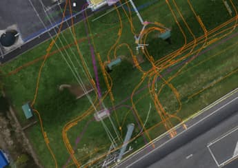
A local power network provider in Pukekohe needed expert service detection and mapping. With multiple high-voltage cables traced and marked out, duct and drainage tracing, water mains tracing and multiple communications cables in the vicinity, the project required our specialist services and expertise.
Read the case study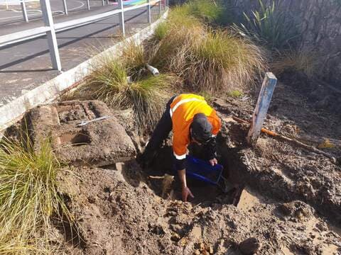
West Auckland
Campus Leak Detection & Repair
After suffering long-term issues with water loss, system configuration and location, Utility Works was engaged to find and repair the leaks at a West Auckland campus. The site spanned over 150 acres with extensive buildings and intertwining historic and modern piping networks. The project involved extensive system isolation and configuration testing, GPR and pipe tracing, re-mapping and full leak detection surveying. Once the losses were located, over 14 underground leaks were excavated and repaired. From initial engagement to completion of the first stage of repairs, the campus saw an 83% reduction in minimum night-flow loss.
Read the case studyGPR Scanning in Huntly: your questions
Does Huntly's coal-mining history affect finding a leak or a buried pipe?
Will beforeUdig plans show the pipes on my Huntly section?
Ready when you are.
Tell us what you’re seeing or what you’re planning. You’ll get a straight answer, a free quote and one crew that does the whole job.
Mon–Fri 7am–5pm · Waiau Pa, South Auckland · Auckland, Franklin & North Waikato