
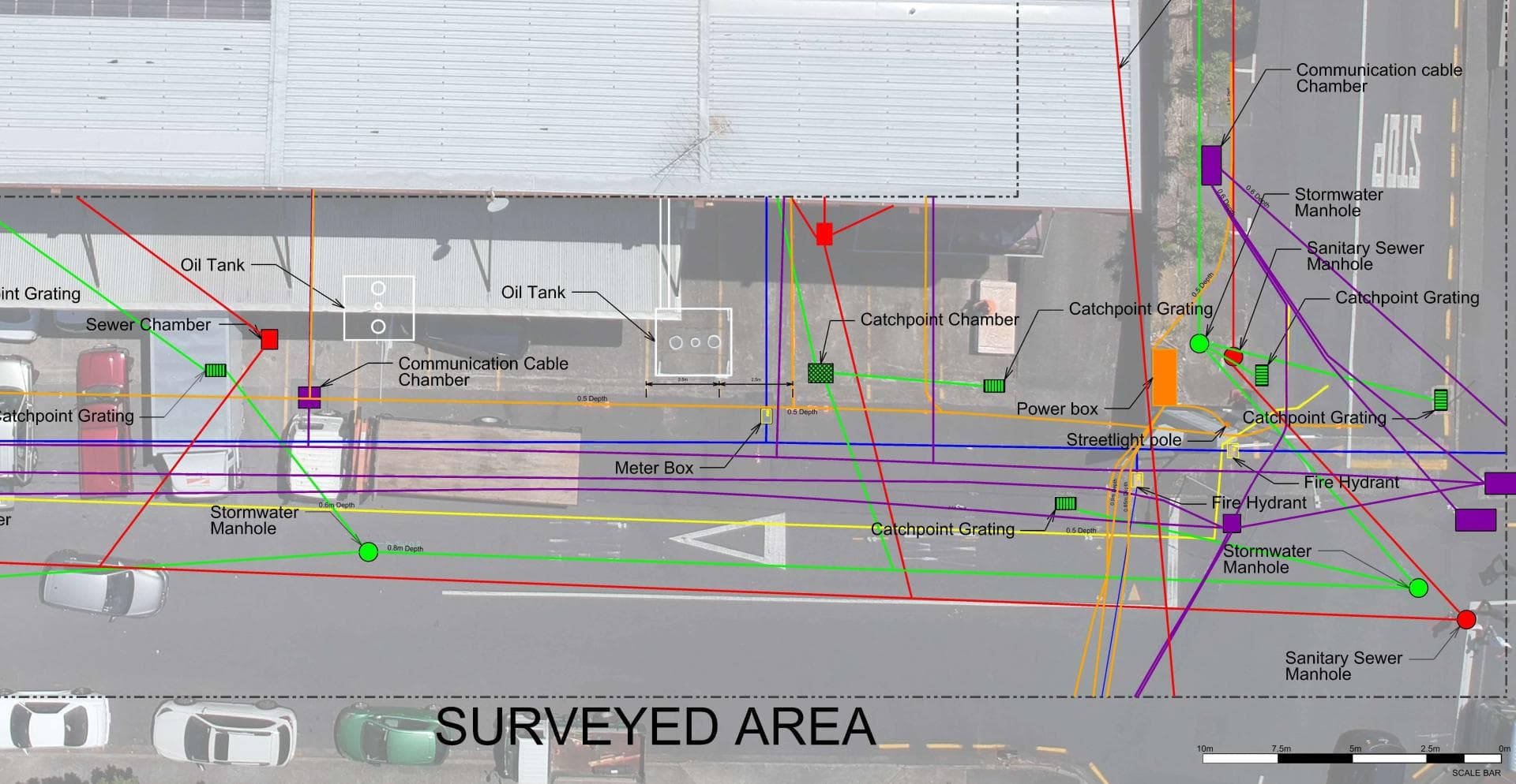
Utility Mapping & GPS Survey
Survey-grade records of what’s underground — shapefiles for your plans
Since 2015Own locators, hydro-vac & diggersAuckland · Franklin · North Waikato
What it is
Once underground services have been located, we record each one's position with survey-grade GPS and hand over a digital map — shapefiles or CAD files — so your engineer, designer or council has an accurate record of what is buried where.
When you need it
- A development or subdivision needs as-built records of underground services.
- Your site has no reliable plans and future works are coming.
- Engineers need utility positions in their CAD or GIS models.
What you get
- Georeferenced shapefiles and CAD-ready files of every located service.
- A plan showing service type, position and recorded depths.
- A record that can be reused for every future job on the site.
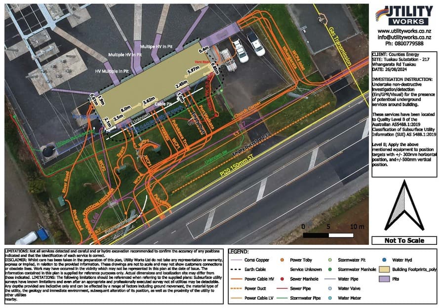
Get Complete Underground Utility Data Before You Dig
When you need precise data about what lies beneath your site, Utility Works delivers GPS utility mapping and underground utility surveys you can trust. Our team provides high-quality data outputs - including shapefiles and survey maps - to integrate directly into your design and construction plans. Whether you are a contractor, developer, project manager, or property owner, our survey and mapping services help you avoid costly errors, meet compliance requirements, and streamline your project workflow.
What’s included
What a survey and mapping job covers
GPS Utility Mapping
Our team uses advanced GPS equipment to record the exact position of power cables, water mains, gas lines, and comms ducts.
Shapefile & Digital Outputs
Receive georeferenced shapefiles and CAD-ready data that your engineers and designers can easily incorporate into plans and models.
Underground Utility Surveys
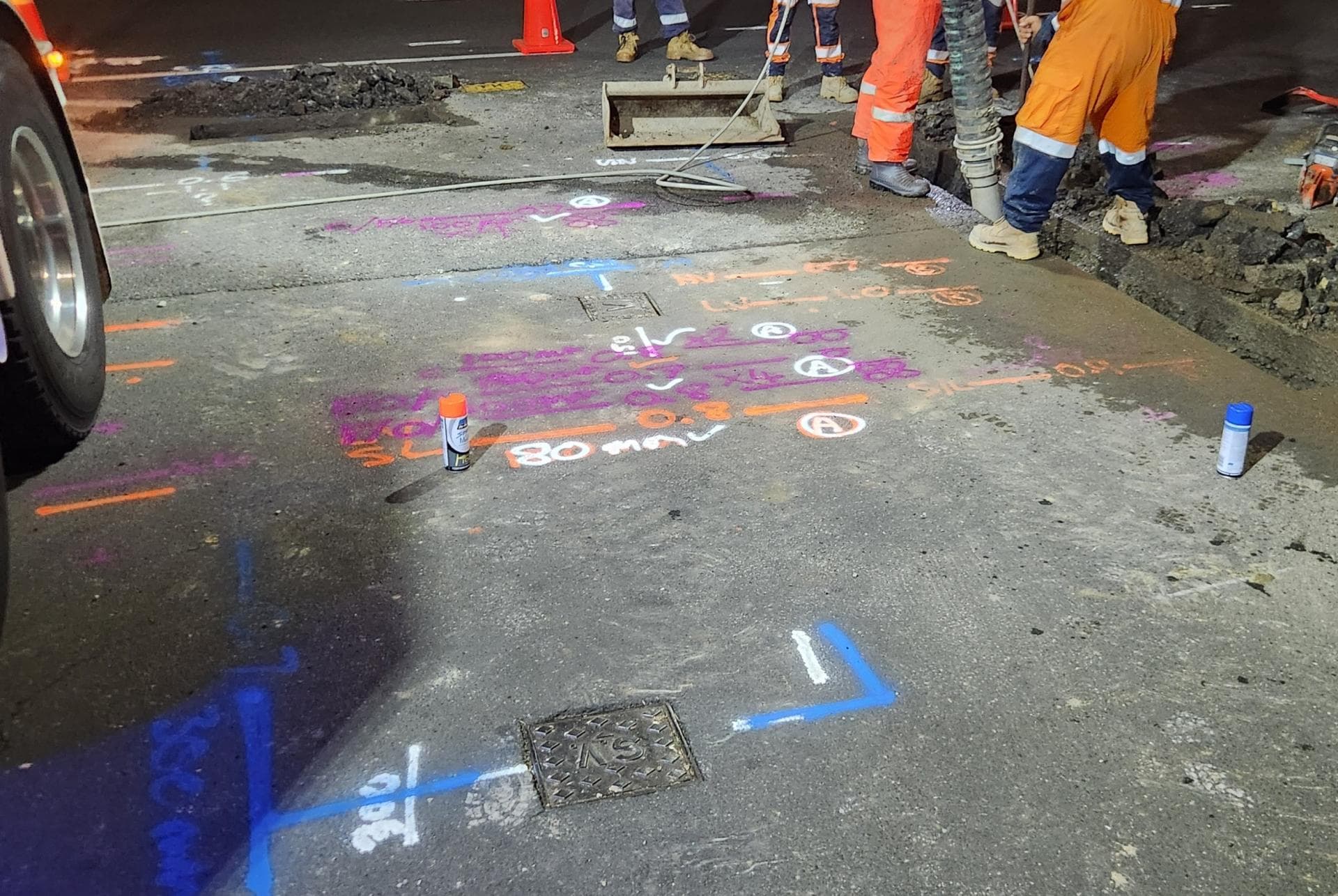
Comprehensive surveys capture every underground asset. We can also provide on-site utility marking for crews working on active construction sites.
Boundary & Site Plan Verification
Need to confirm property lines? We work alongside your boundary surveyor to ensure all utilities are correctly positioned relative to key site features.
Survey-Grade Utility Data For Your GIS And CAD
When the deliverable is data rather than a paint line, we capture located services in the formats your design and asset teams actually work in.
Georeferenced shapefiles & CAD-ready output
Located services delivered as shapefiles or CAD data your designers drop straight into the model — no redrawing from a photo of the ground.
Underground services maps & as-builts
A clean underground services map of what’s actually there, for the project file, the asset register or the next contractor.
GPS-accurate positions
Services captured with survey-grade GPS so every position ties to your site coordinates, not an approximate offset.
Whole-of-site utility surveys
Every asset across a development, campus or industrial site located and mapped as a single record.
Know Where Not to Dig - Get Accurate GPS Utility Mapping & Shapefiles Today
Free, no-obligation quote · Mon–Fri 7am–5pm · Auckland, Franklin & North Waikato
Google reviews
What customers say
“Prompt service & fair pricing. Tony and his team — sharp eye for detail and out of the box problem solving paired with a high standard of workmanship.”
Richard La Trobe · Google · October 2026
“Really happy with the work to install our underground services. Highly recommend.”
Sarah Walworth · Google · October 2026
“The only company we trust… reliable, cost effective, and honest service from A to Z. 100% confidence in this company.”
Darrel Assink · Google · September 2026
Our Projects
1–2 of 3
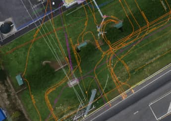
Tuakau, North Waikato
Services Detection & Mapping in Tuakau
A local power network provider in Pukekohe needed expert service detection and mapping. With multiple high-voltage cables traced and marked out, duct and drainage tracing, water mains tracing and multiple communications cables in the vicinity, the project required our specialist services and expertise.
Read the case study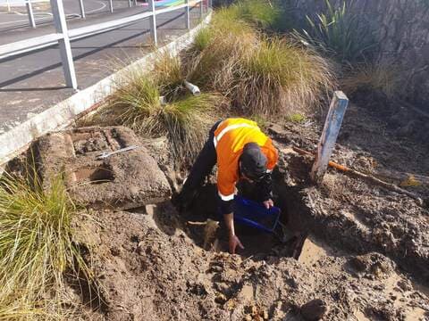
West Auckland
Campus Leak Detection & Repair
After suffering long-term issues with water loss, system configuration and location, Utility Works was engaged to find and repair the leaks at a West Auckland campus. The site spanned over 150 acres with extensive buildings and intertwining historic and modern piping networks. The project involved extensive system isolation and configuration testing, GPR and pipe tracing, re-mapping and full leak detection surveying. Once the losses were located, over 14 underground leaks were excavated and repaired. From initial engagement to completion of the first stage of repairs, the campus saw an 83% reduction in minimum night-flow loss.
Read the case studyWorth a read first
Guides & advice
1–3 of 5
GPS & Utility Mapping in Auckland: How Accurate Underground Mapping Keeps Projects on Track
Construction and infrastructure projects run on information as much as they run on materials and labour.
Read the guide
Understanding GPS Mapping For Accurate Utility Location
In the world of utility management, precision and accuracy are key.
Read the guide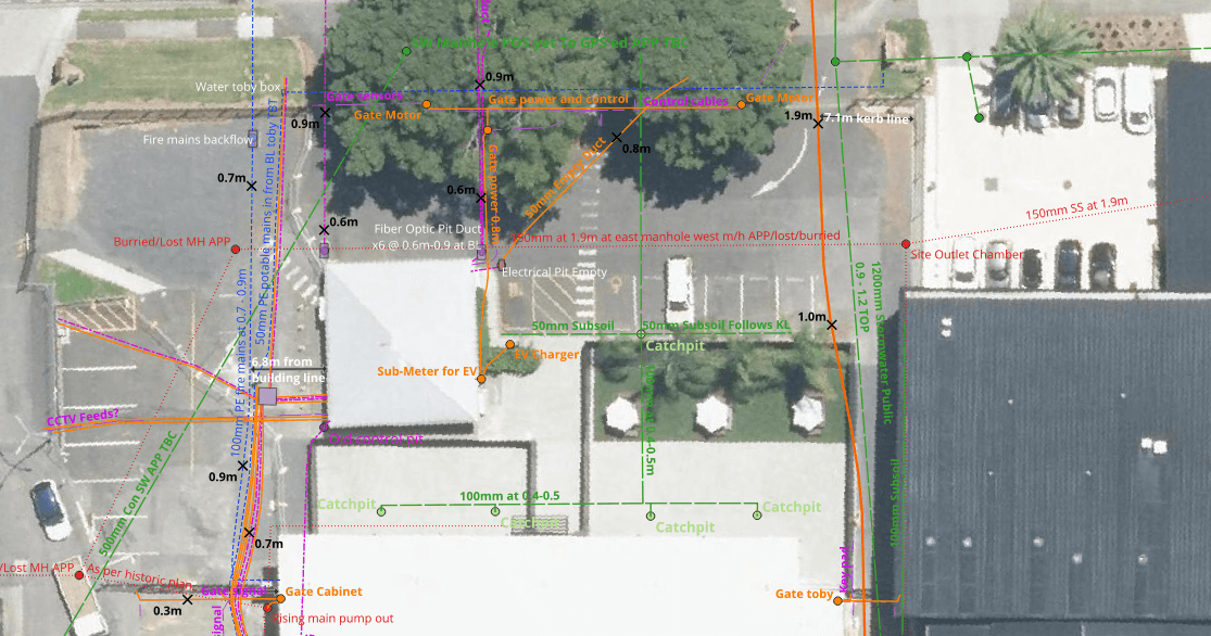
How Underground Utilities are Planned for New Subdivisions in Auckland
Planning underground utilities is one of the most critical stages in any new subdivision project.
Read the guideFAQ'S
What is a shapefile, and why do I need it?
Can you map all underground utilities?
How accurate is GPS utility mapping?
Do you offer on-site utility marking?
Ready when you are.
Tell us what you’re seeing or what you’re planning. You’ll get a straight answer, a free quote and one crew that does the whole job.
Mon–Fri 7am–5pm · Waiau Pa, South Auckland · Auckland, Franklin & North Waikato